UCLA MLIS students and some invited guests got a behind-the-scenes tour of the inner-workings of the Geographic Information Services (GIS) Office at LA City Hall in Downtown last week. The GIS Office works within the larger City Planning Department. It functions as an interdepartmental resource in: managing the vast amounts of cartographic data through internal and public databases, providing historic permit research for architectural preservation efforts, and even creating original maps of the city and county for matters of legal and zoning issues.
Our tour was graciously led by Heber Martinez, a Systems Analyst with GIS, who started out as an intern and eventually made it up the ranks! After an introductory session on what GIS is and the related career paths, Heber led us through the work space of several GIS professionals. Lastly, our group got to see the Downtown skyline at the top-level observation deck.
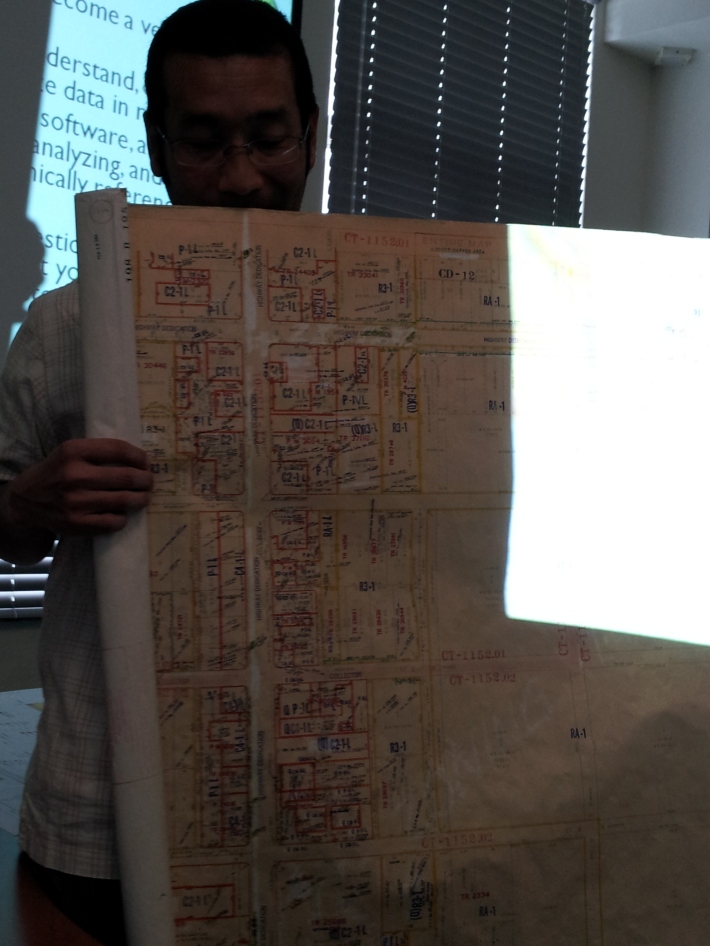
Heber Martinez, Systems Analyst, shows us an example of a period map that’s been digitized. Additionally its information has been entered into a zoning database.
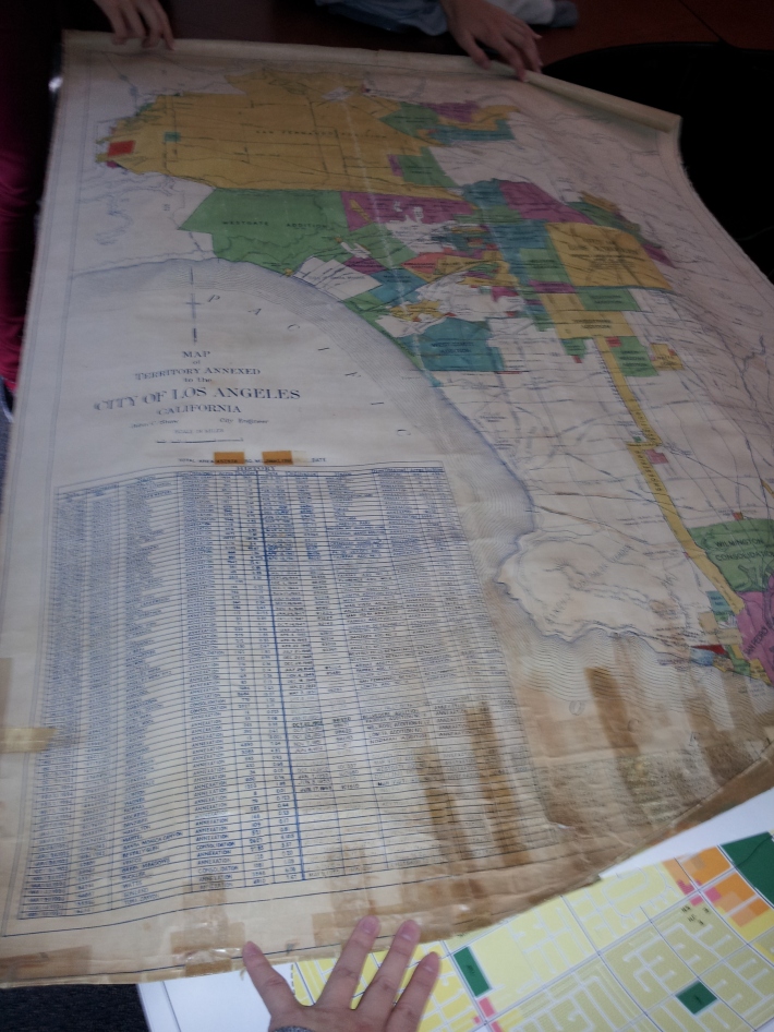
A 1962 map of Los Angeles, also digitized.
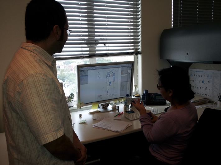
Heber and his GIS cohort, who is using ArcGIS and graphics software to layer on and create new maps for the city’s use.
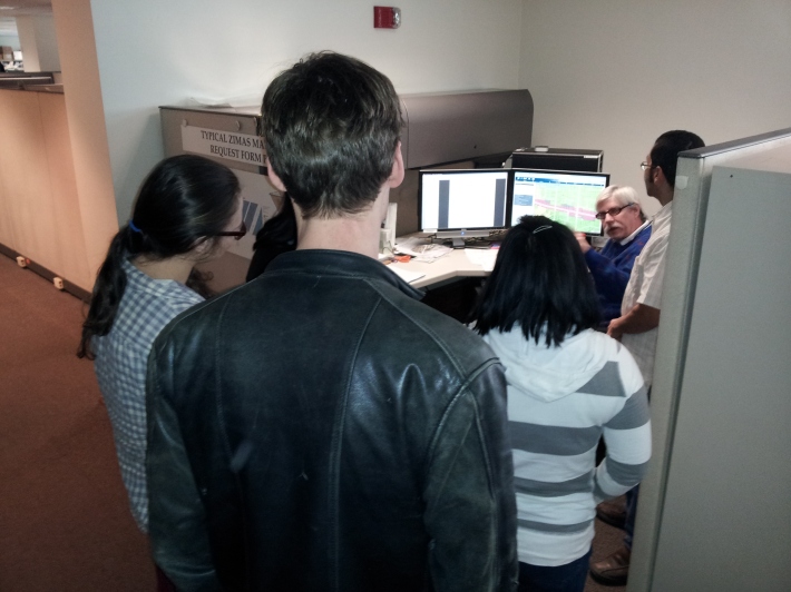
Our UCLA IS students and guests, listen attentively.
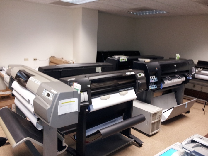
The maps printing room, with the numerous jumbo color printers, each costing thousands of dollars!
We’re shown the dozens of servers that work to provide City Hall with the hard-disk and network space needed for thousands of employees. This is a back view of the servers with a cacophony of colorful cords.
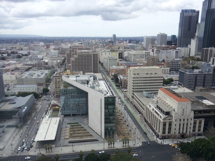
A south view from the City Hall Observation Deck on the 27th floor. Straight ahead (in the post-modern, glass enclosure) is LAPD Headquarters and to the right is the historic Los Angeles Times building.
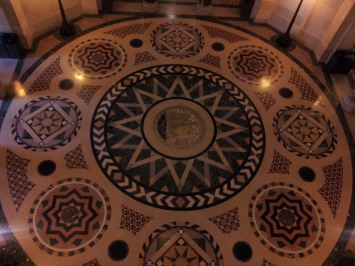
The famous 1920s art deco, 3rd level rotunda floor, view taken from above.

